
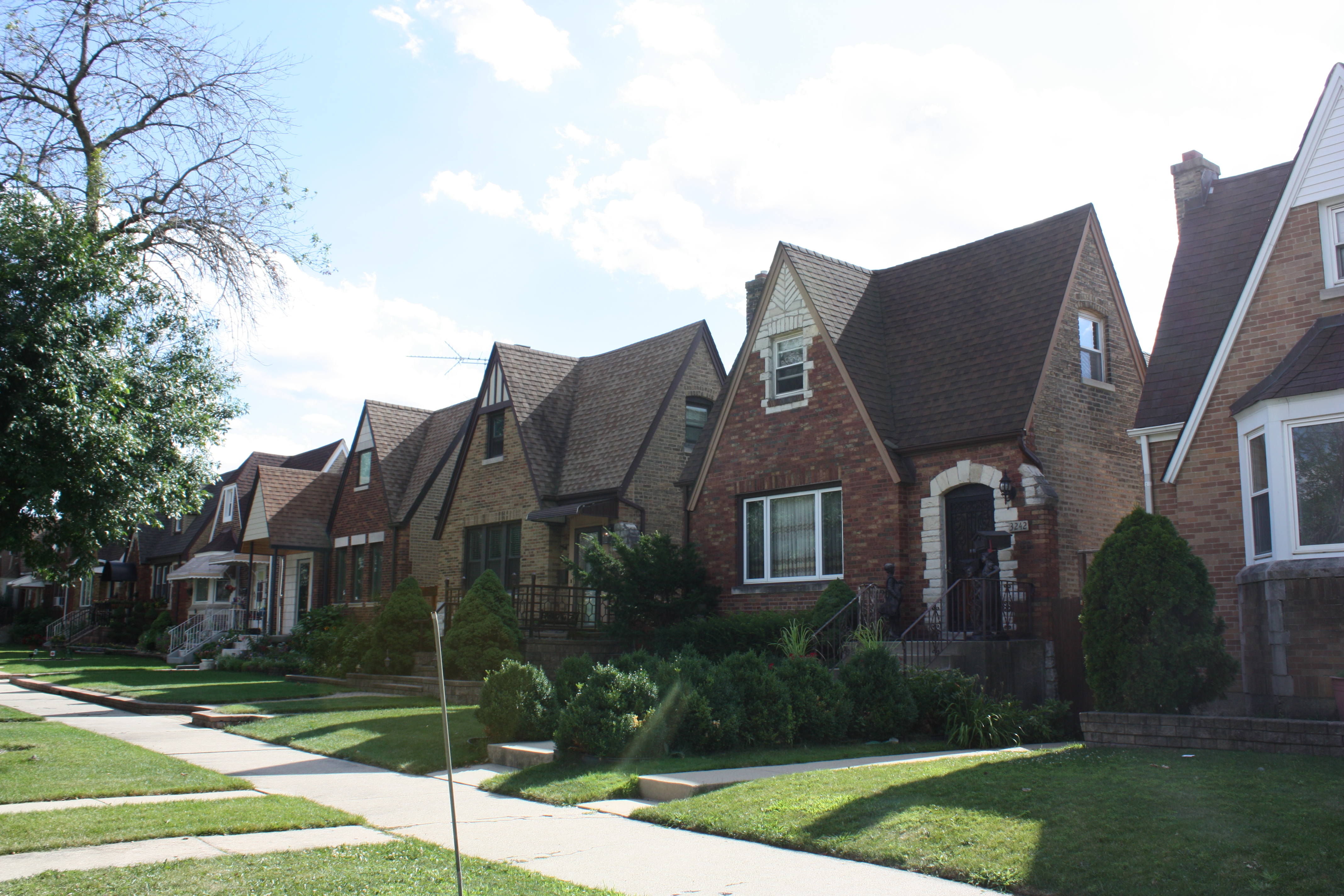
Tudor styled Chicago Cape Cods on the 3200 block of N Natomah
Mars Factory at 2019 N Oak Park
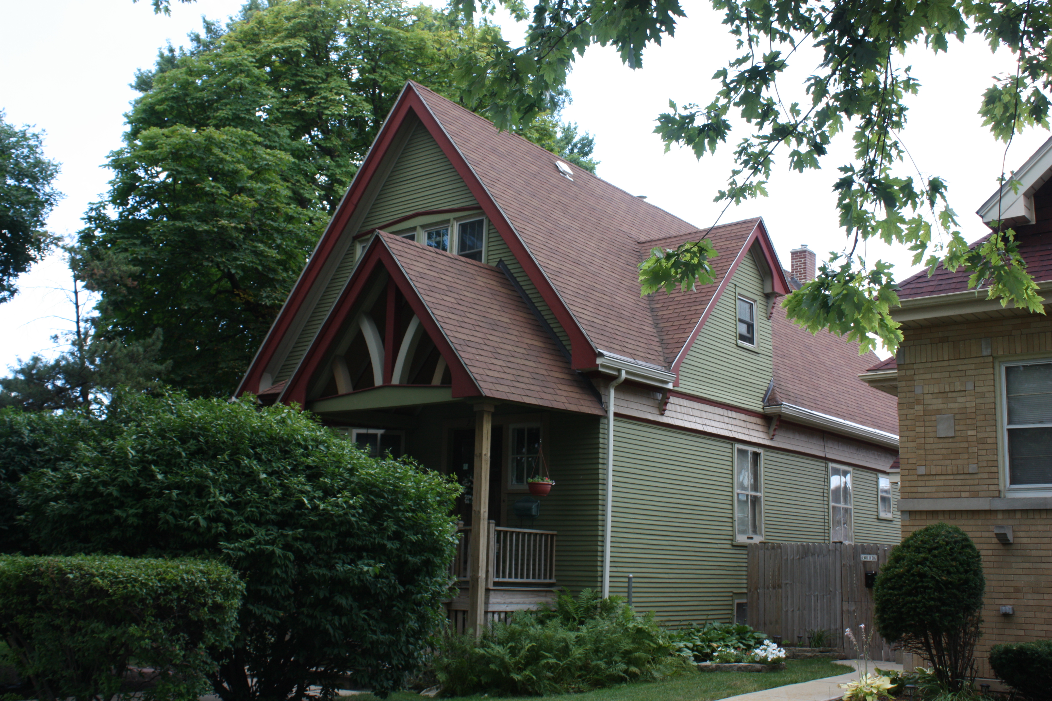
2502 N Neva
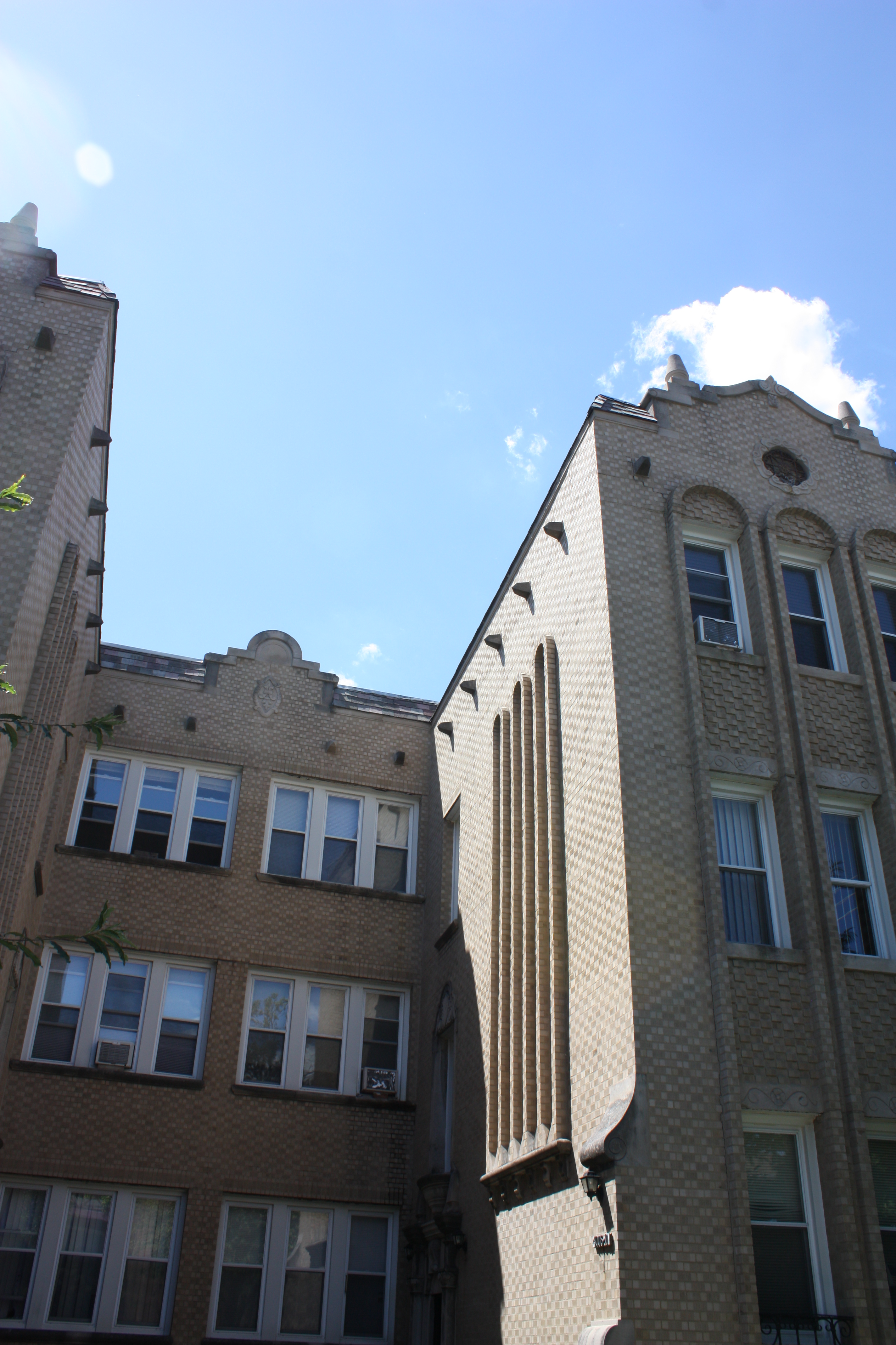
6032 W Irving Park Rd & 4004-4010 N McVicker
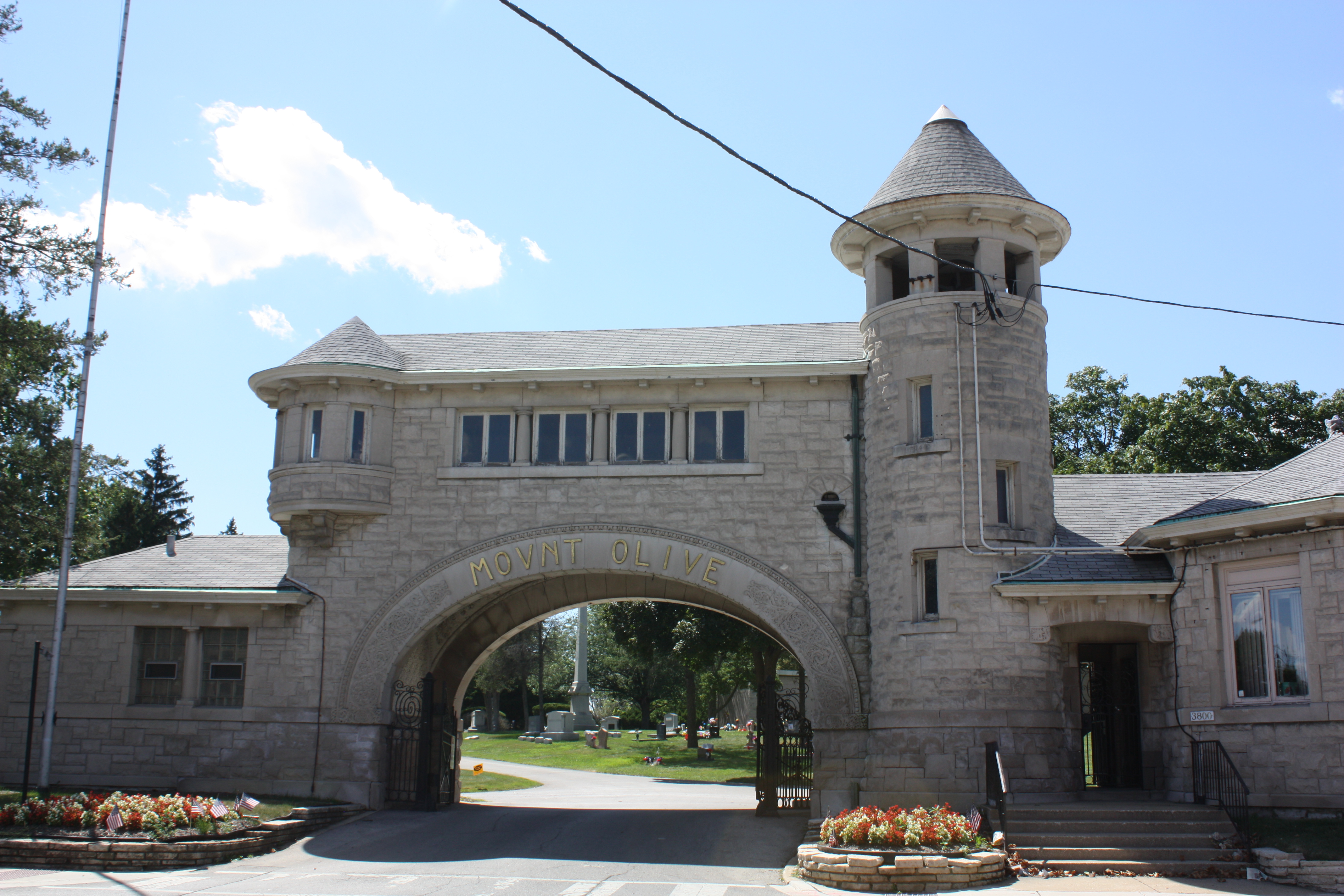
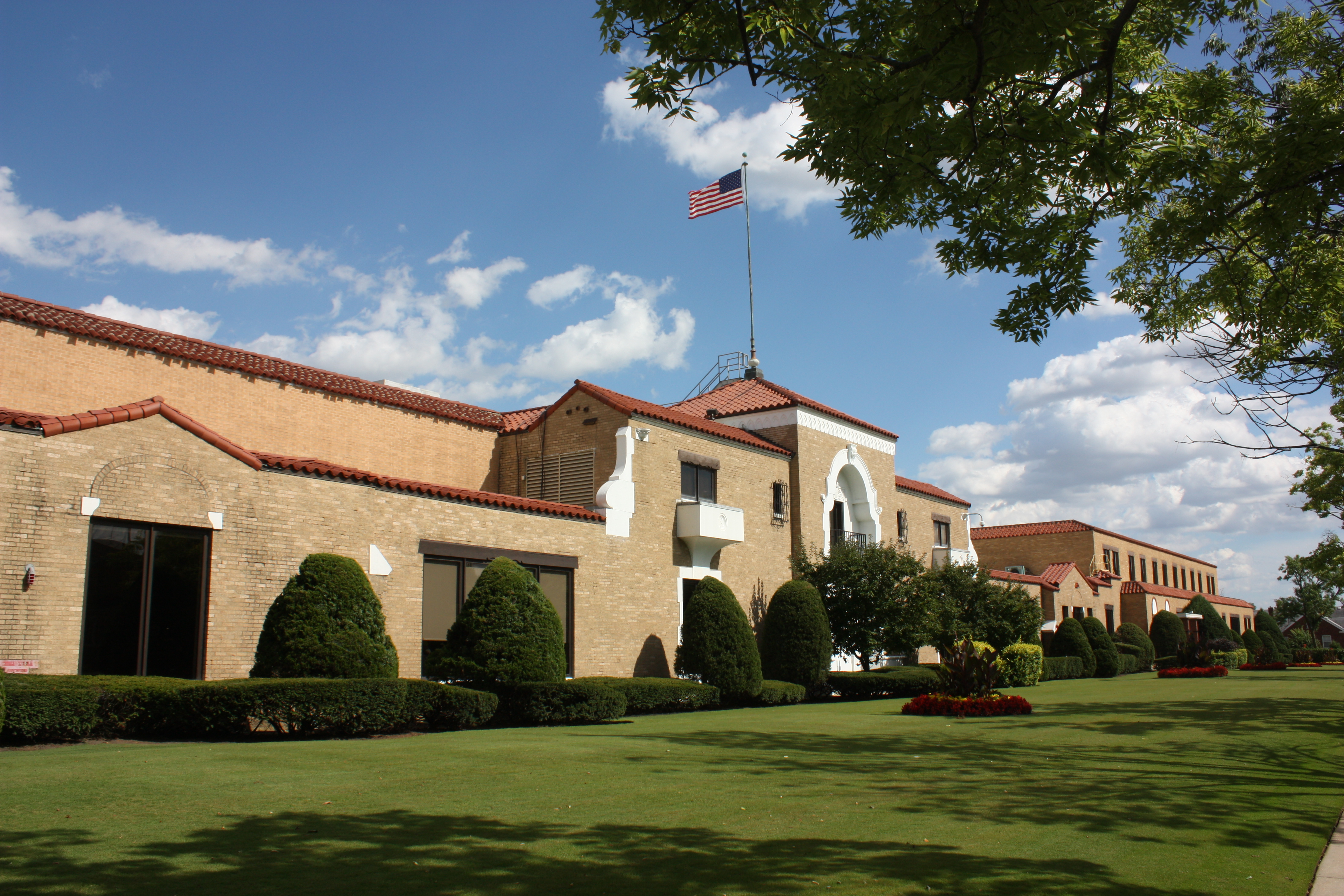
Mount Olive Cemetery Gatehouse at 3800 N Narragansett
Dunning is community area #17 and sits 10 miles northwest of the Loop. It is surrounded by a variety of northwest side community areas and neighborhoods of Chicago and several near west suburbs. The community began with the purpose of being the location of a poor farm or almhouse and insane asylum for Cook County. In 1851, this area was mostly prairie lands when the County purchased 160 acres of land from Peter Ludby between present day Irving Park and Montrose and between Narragansett and Oak Park. The area is named for Andrew Dunning who himself purchased 120 acres near the asylum and almhouse. He began a nursery and set aside acres to sell to others, which proved difficult with its proximity to the insane asylum. The area had few access options and the nearest train stop was two and a half miles away until 1882 when the Dunning station opened on a new track with the train dubbed the “crazy train”. The area had such a bad reputation that local parents used to warn misbehaving children to be careful, or they were going to Dunning.
Montclare is Community Area #18, immediately south of Dunning and 9 miles northwest of the Loop. It is named for its depot, which the Chicago and Pacific Railroad Company had named Montclare after Montclaire, NJ. It stretches from Belmont south to the Milwaukee District West line and from Narragansett to Harlem. The area has a population of over 13,000, so it is a much smaller neighbor to Dunning’s 40,000 plus residents. 90 acres of what now makes up Montclare began its modern history when William Sayre claimed the land through right of possession in 1836. It took him two additional years to settle outstanding items and pay for the land in an agreement with Jefferson Township. In 1912, the Grand Avenue streetcar spurred development and people began to move to the area, and as infrastructure improvements were made, by 1920, the area started to thrive and develop a reputation as a good place to build and live. This followed with a boom of single family residential development, largely of bungalows, making the area a part of Chicago’s Bungalow Belt.
Together Dunning and Montclare represent the typical Chicago neighborhoods, in every wonderful way. They are full of sturdy and brilliant housing stock of examples stretching from Victorian frame houses to post-war ranch homes. The individual neighborhoods are ideal to explore by bicycle and our Tour of Dunning and Montclare packs some wonderful examples of the worker homes, businesses, places of worship and learning into a 14 mile route.
Starting Spot: Shabbona Park at 6935 W Addison in Chicago, IL
Google Map:
The individual layers of the map will reveal neighborhoods, bordering communities and suburbs, sites on the tour, sites off the tour and tour route.
Past dates of the Tour of Dunning and Montclare
- August 8, 2015
Tour of Dunning and Montclare Merchandise
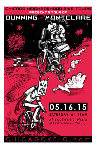
Tour of Dunning and Montclare 2015 Poster
Take the tour
If there are no upcoming tour dates for this tour or you can’t make the date listed, you can still take the tour on your own. From where you sit right now, you can take the Virtual Tour of Dunning and Montclare.
Dunning and Montclare Virtual Tour
If you would also like to do your own tour, here is the handout with the map and turn by turn directions on one side, and a list of places we see, some important places nearby, and the communities, neighborhoods and suburbs we pass through and rub up against
Photo Albums


